Servicios de Levantamiento y Estudios Topográficos
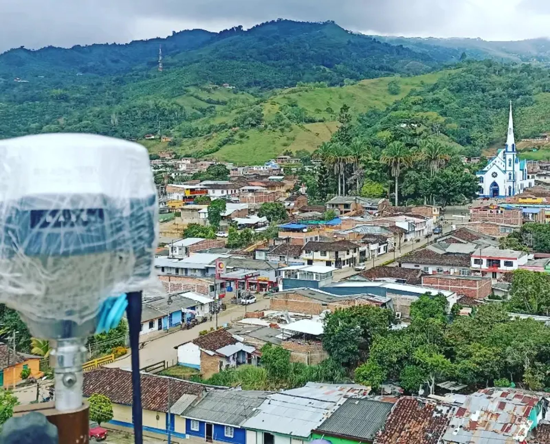
Medición precisa de áreas urbanas y rurales en Tuluá y suroccidente colombiano.
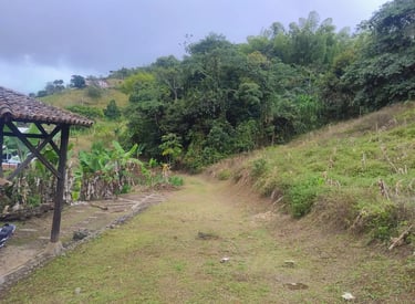
Estudios Topográficos
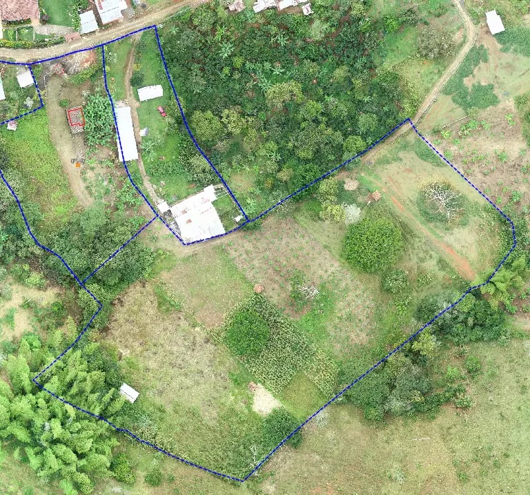
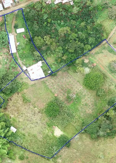
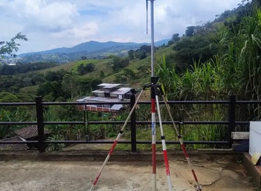
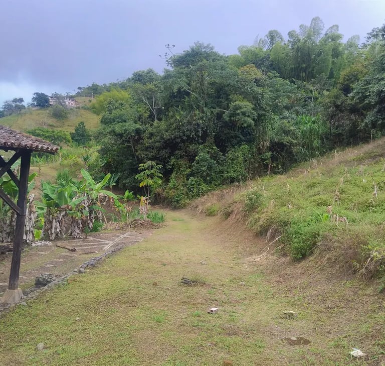
Georreferenciados de predios urbanos y rurales (Áreas, linderos, colindantes)
para consultoría de proyectos (Planeación, diseño y ejecución)
para ejecución y control de obra
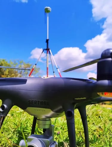
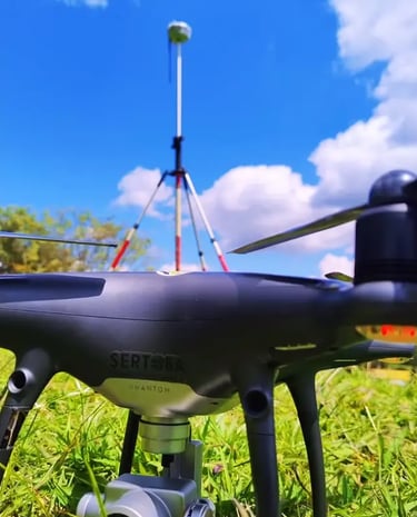
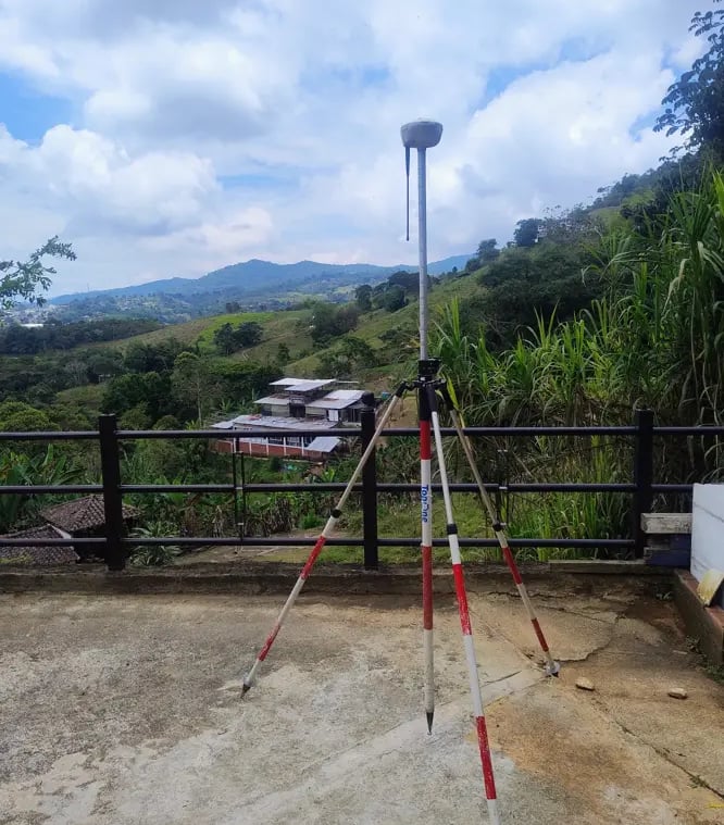
Levantamientos Topográficos
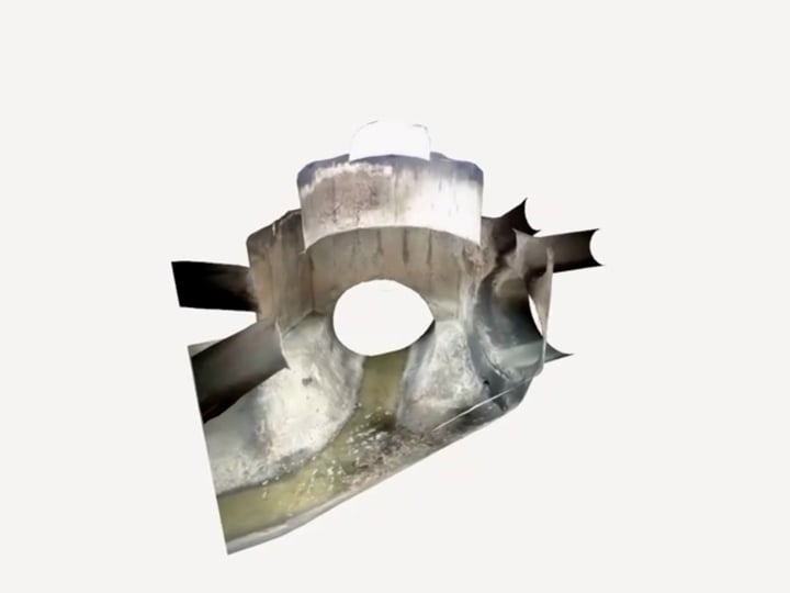
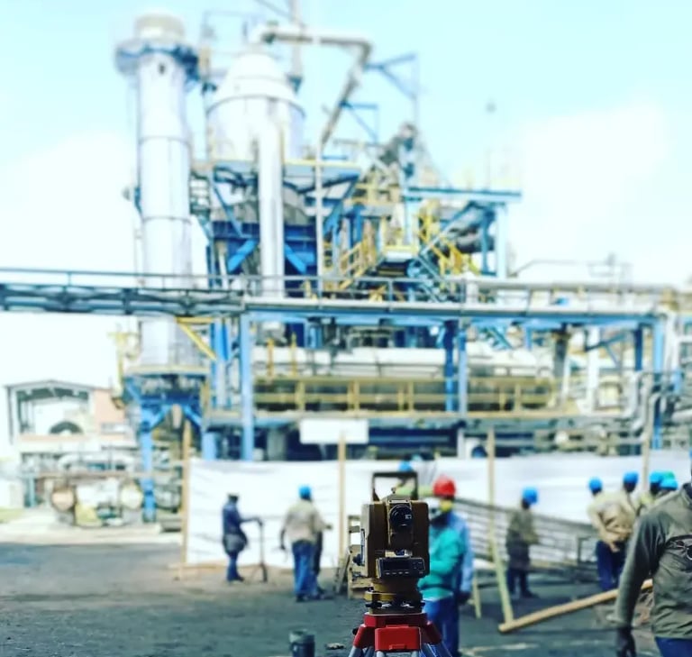
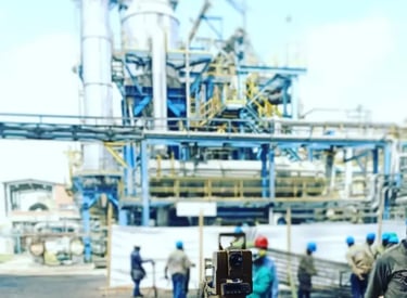
Comisión Topográfica en Obra
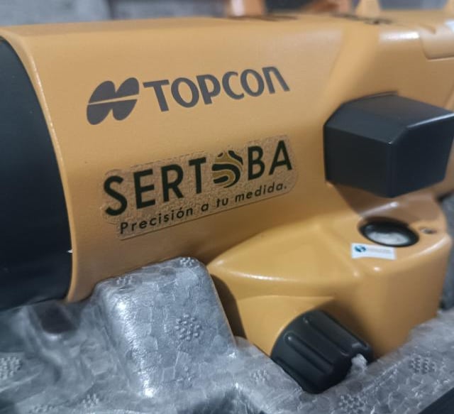
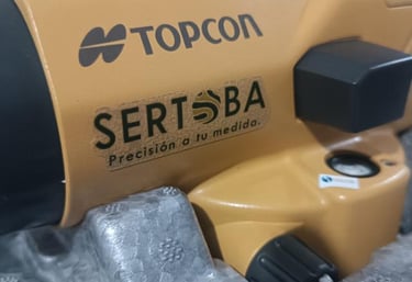
Sobre Sertoba
Nos especializamos en levantamientos y estudios topográficos para la identificación de áreas, linderos y colindantes, de predios urbanos, rurales en suroccidente colombiano.
Nuestra Misión
Brindamos servicios de levantamientos topográficos, con metodologías de campo y postproceso que aplican normas y estandares de calidad, que garantizan la obtención de datos e información precisa y confiable, que agilizan y soportan los diversos trámites comerciales y jurídicos de predios urbanos y rurales.

Servicios Topográficos Batero
Levantamientos y estudios Topográficos de predios urbanos y rurales para la identificación de áreas, linderos y colindantes
Consultoría de Proyectos
Estudios y levantamientos topográficos de infraestructura y urbanización (Planeación, Diseño y Ejecución).
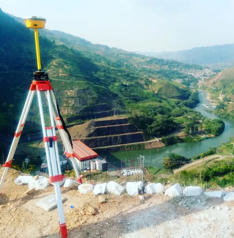
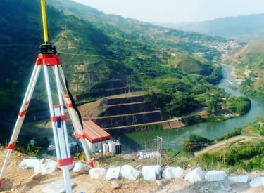
Georreferenciación de Predios
Levantamientos Topográficos de predios urbanos y rurales, para la identificación de áreas, linderos y colindantes.
Peritajes de Levantamientos Topográficos
Para resolver asuntos jurídicos sobre predios (posesión, derechos de propiedad, sucesión, baldíos, linderos y colindancias)
Comisión Topográfica en Obra
Para ejecución y ejecución de Obras de Infraestructura y Urbanización


Los levantamientos topográficos de Sertoba son precisos y confiables. Su trabajo en Tuluá y el suroccidente colombiano ha sido fundamental para nuestros proyectos.
Juan Pérez

★★★★★
Servicios
Estudios topográficos para áreas urbanas y rurales, linderos y colindantes.
Contacto
Solicitud de Información
info@sertoba.com
© sertoba 2025. All rights reserved. by debester.com