
Servicios Topográficos Batero
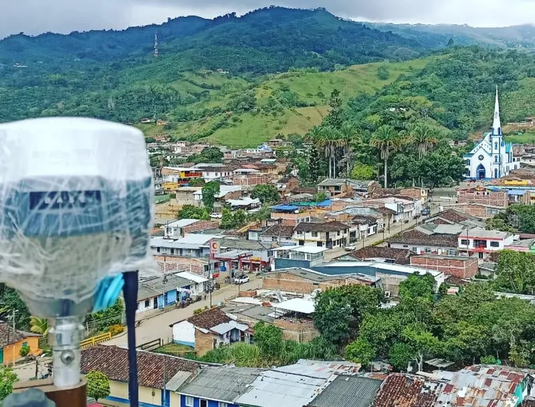
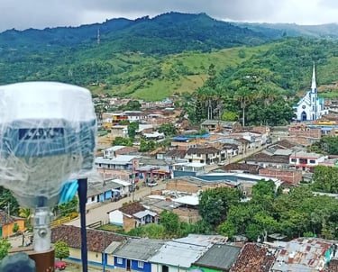
Realizamos levantamientos y estudios topográficos en el Valle y suroccidente colombiano.
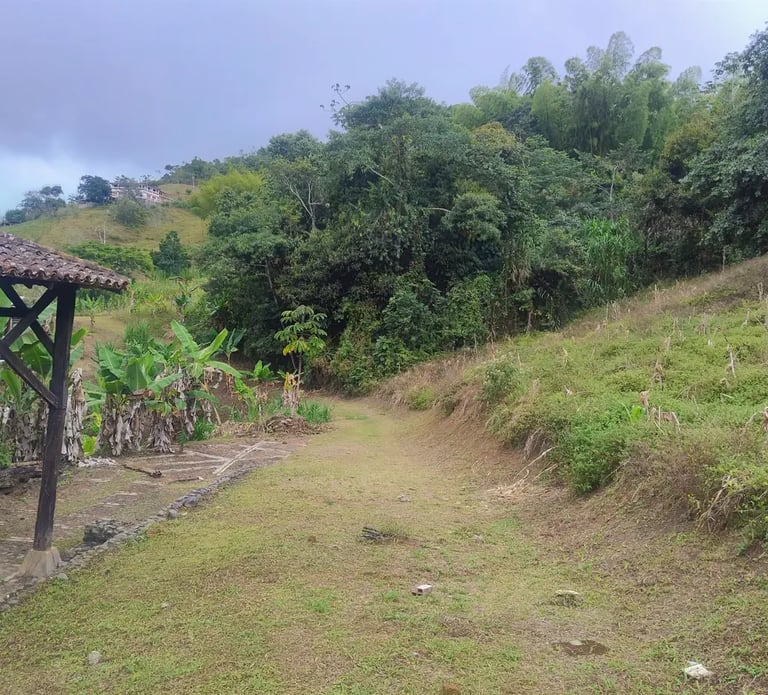
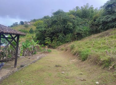
Georreferenciación de Predios
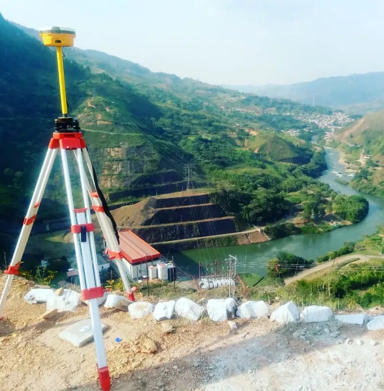
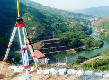
Identificando áreas, linderos y colindantes. Integramos la información a sistemas de referencia nacional, cumpliendo normativa IGAC


Consultoria de Proyectos
Desarrollamos estudios topográficos completos para planificación, diseño y ejecución de proyectos
Prestamos asistencia técnica directa en campo para la ejecución de obras civiles
Comisión Topográfica en Obra
Topografía Experta
Ofrecemos levantamientos y estudios topográficos en el Valle y suroccidente colombiano.


Estudios Precisos
Realizamos estudios precisos para medir áreas de predios urbanas y rurales, garantizando resultados confiables para clientes locales y regionales en el suroccidente colombiano.


Servicios Especializados
Nuestros servicios incluyen levantamientos topográficos y análisis detallados, perfectos para planificaciones urbanas y rurales, aportando calidad y profesionalismo en cada proyecto dentro y fuera de Tuluá.
Servicios Topográficos Batero
Levantamientos y estudios Topográficos de predios urbanos y rurales para la identificación de áreas, linderos y colindantes
Consultoría de Proyectos
Desarrollamos estudios topográficos completos para planificación, diseño y ejecución de proyectos. Detallamos componentes naturales y artificiales del área, generando planos planimétricos y altimétricos.
Georreferenciación de Predios
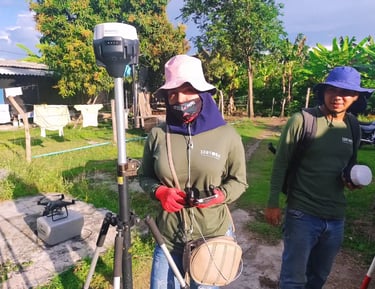
Realizamos levantamientos precisos mediante GPS RTK y estaciones totales, identificando áreas, linderos y colindantes. Integramos la información a sistemas de referencia nacional, cumpliendo normativa IGAC.
Este servicio es ideal para englobar, desenglobar, dividir o actualizar predios urbanos y rurales con respaldo técnico, planos exactos y soporte documental confiable.
Incluimos proyecciones para sistemas de acueducto, alcantarillado, redes eléctricas y vías. Proveemos información geoespacial precisa para consultorías y licenciamiento ambiental o urbanístico.
Peritajes de Predios
Realizamos peritajes especializados con respaldo técnico y normativo para procesos judiciales y administrativos sobre predios. Incluimos levantamientos georreferenciados, análisis de posesión, linderos, colindantes y derechos de propiedad.
Comisión Topográfica en Obra
Prestamos asistencia técnica directa en campo para la ejecución de obras civiles. Realizamos localización, replanteo y control de avances en construcción de vías, redes de servicios públicos, muros de contención y puentes.
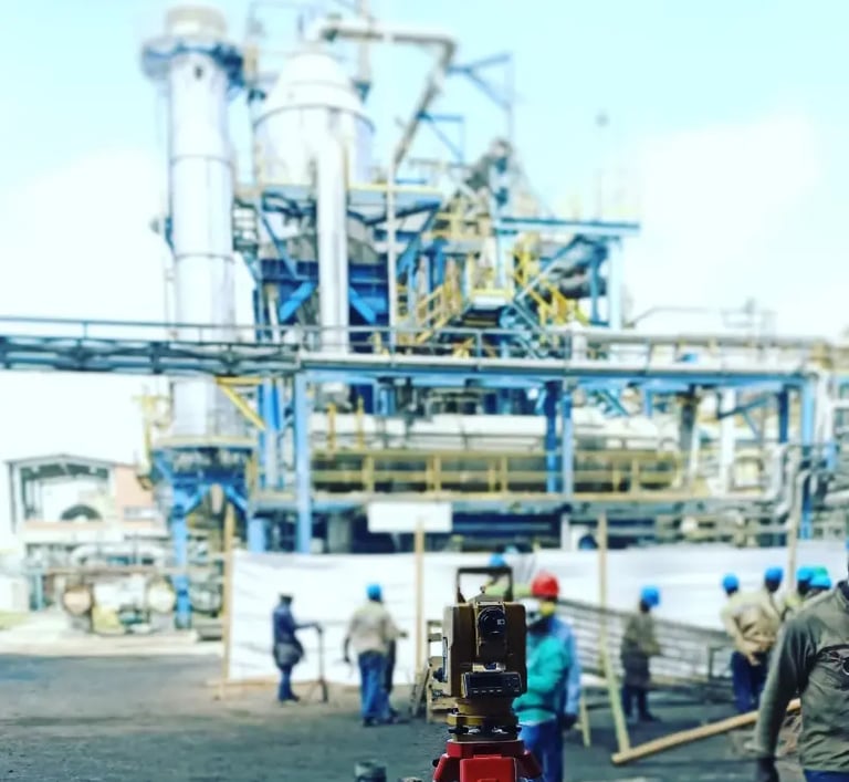
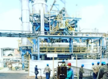
Garantizamos precisión milimétrica en mediciones y registros topográficos para un desarrollo seguro y conforme a planos.
Entregamos informes técnicos detallados, aptos como prueba pericial en trámites legales, sucesiones, procesos de restitución y regularización de tierras.
Servicios
Estudios topográficos para áreas urbanas y rurales, linderos y colindantes.
Contacto
Solicitud de Información
info@sertoba.com
© sertoba 2025. All rights reserved. by debester.com