Sobre Nosotros
En Sertoba brindamos servicios topográficos integrales con tecnología de vanguardia.
150+
15+
Experiencia y Calidad
Confianza Total
Nuestro equipo combina experiencia y herramientas digitales avanzadas para ofrecer soluciones técnicas eficientes que respaldan proyectos urbanos y rurales en todo el suroccidente colombiano
Desarrollamos levantamientos, consultorías, peritajes y control de obras, garantizando precisión, cumplimiento normativo y resultados confiables.
Ubicación Geográfica
Ofrecemos servicios de levantamientos y estudios topográficos en Tuluá y el suroccidente colombiano, garantizando precisión en mediciones de áreas.
Dirección
Tuluá - Valle
Horarios
Lunes a Viernes


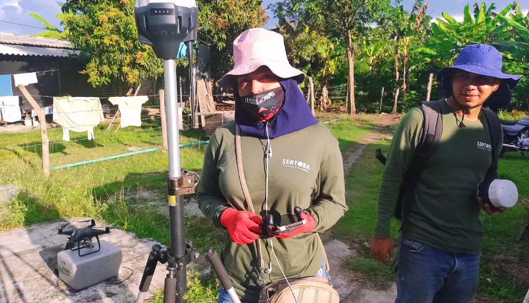
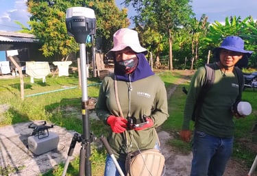
Galería
Explora nuestros levantamientos y estudios topográficos en Tuluá.


Servicios
Estudios topográficos para áreas urbanas y rurales, linderos y colindantes.
Contacto
Solicitud de Información
info@sertoba.com
© sertoba 2025. All rights reserved. by debester.com